The Climb to the Kaunos Acropolis and the View That Explains Everything
Most people stop at the theatre. The hour above it is the part of Kaunos that stays with you.
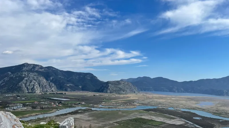
The Kaunos acropolis sits on a rock about a hundred and fifty metres above the ruins, with city walls still running along its ridge. It is the ancient Imbros, the high point the whole settlement was built under.
Almost nobody goes up. The site entrance, the theatre and the terrace buildings absorb most visitors, and the path above them looks steeper than it is from below. It is steep, but it is also short, and what waits at the top is the single view that makes sense of the entire delta.
What the climb is actually like
From the theatre to the ridge is a rough forty-five minutes to an hour, depending on how often you stop. The distance is small; the gradient is not.
The surface is bare limestone with loose stones on it, worn smooth in places by two and a half thousand years of feet. There are no steps, no handrails and no shade above the tree line.
It is not technical and it is not exposed in a frightening way. It is simply a steady, hot, uneven climb that rewards good shoes and punishes flip-flops.
What you walk past on the way
- Stretches of the ancient city wall, in places shoulder height and continuous for tens of metres.
- Cisterns cut into the rock, some still holding water after rain.
- Terracing and foundation lines that only read as buildings once you are above them.
- Wild olive, thyme and in spring an absurd amount of flowering scrub.
- Tortoises, if you are lucky, and lizards whatever the weather.
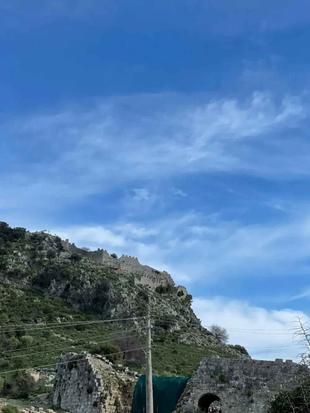
The view from the top
North and east: the river, Dalyan town in its bend, and the mountains behind Koycegiz. The whole shape of the valley is visible at once.
South and west: the delta. Channels, sandbanks, reed beds and the long bar of Iztuzu beach, with the open Mediterranean behind it.
That southern view is the point of the climb. You are standing where the city watched its harbour, and the harbour is now a plain of fields and water channels four kilometres from the sea. No explanation of why Kaunos declined works as well as simply looking at it.
When to go up
Early morning or late afternoon, in any season. In midsummer the middle of the day on bare rock is genuinely unpleasant and the light is flat anyway.
Spring and autumn are the good months. The ground is green, the air is clear and the climb is a pleasure rather than a test.
After winter rain the visibility is extraordinary and you can see the full line of the coast. The rock is also slipperier, so take it slowly on the way down.
What to take
- Walking shoes or trainers with grip. This is the one piece of advice that matters.
- At least a litre of water per person in summer; there is nothing to buy above the gate.
- A hat and sunscreen. The upper half has no shade at all.
- A wind layer outside summer. The ridge is exposed and the temperature drops at the top.
- A phone or camera you can brace. Everything worth photographing here is far away.
Who should skip it
Anyone uneasy on uneven ground, anyone with a knee that complains on descents, and anyone travelling with small children in the heat. The descent is harder than the ascent on this kind of rock.
The lower site is genuinely worth a visit on its own. The theatre, the baths and the view from the terrace give you most of the story without the climb.
If you want the panorama without the effort, the drone-height view exists in photographs, and the riverside walk in Dalyan gives you the tombs at eye level. The acropolis is an optional extra, not the price of admission.
Fitting it into a day
Total: four to five hours door to door. It is a morning, not an afternoon, and it does not combine with a beach day.
- Cross the river early, before the site gets busy and before the heat.
- Walk the lower ruins first: theatre, baths, terrace buildings.
- Climb to the ridge, allowing an hour up and forty minutes down.
- Sit at the top for fifteen minutes. The view is the reason you came and it deserves more than a photograph.
- Cross back for a late lunch on the Dalyan riverfront.
What the ruins up there are
The walls along the ridge are the acropolis fortifications, rebuilt more than once over the long life of the city. Different stretches use different masonry, and the joins are visible if you look.
There is no temple to find and no reconstructed building to photograph. What is up there is a defensive line, a few cisterns and a hilltop that has been in use since long before the theatre was cut.
That is worth saying plainly, because anyone expecting an acropolis in the Athenian sense will be disappointed. What Kaunos offers at the top is not architecture but position, and position is exactly what the city was built on.
Frequently asked questions
How long does it take to climb to the Kaunos acropolis?
Allow around an hour up from the theatre and forty minutes back down. The distance is short but the ground is steep, uneven and unshaded.
How high is the Kaunos acropolis?
The acropolis rock stands roughly one hundred and fifty metres above the ruins and the plain. The ancient name for it was Imbros.
Is the climb to the acropolis difficult?
It is not technical, but it is steep, hot and on loose limestone with no handrails. Good shoes are essential and the descent is harder than the ascent.
What can you see from the Kaunos acropolis?
The whole Dalyan delta, the channels and sandbanks, Iztuzu beach and the open sea on one side, and the river, the town and the mountains on the other.
Is the acropolis worth it if time is short?
If you have one visit and limited time, the theatre and the lower ruins give you most of the site. The climb is an extra hour and a half that only pays off if you want the panorama.
You may also want to read
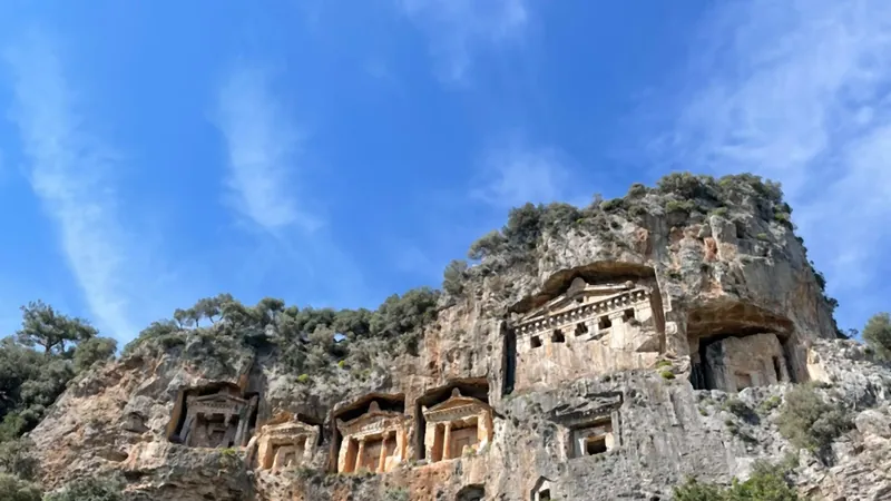
Visiting Kaunos: the Ancient City Behind the Rock Tombs
Everyone photographs the tombs from the river. Far fewer cross over and walk up to the city they belong to.
Read more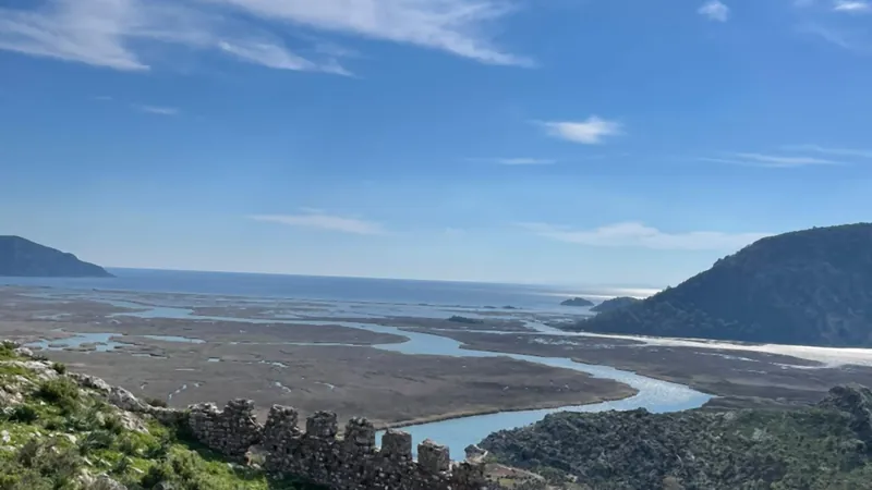
The History of Kaunos: a Port City the Sea Walked Away From
The city did not fall to an army. It was buried, slowly, by its own river.
Read more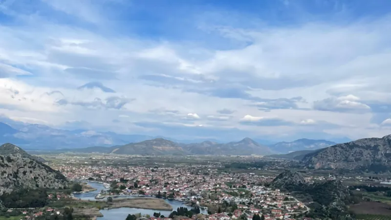
The Dalyan Delta from Above: Where to Stand for the View
From the water the delta is a corridor. From two hundred metres up it is a map, and the map explains the town.
Read more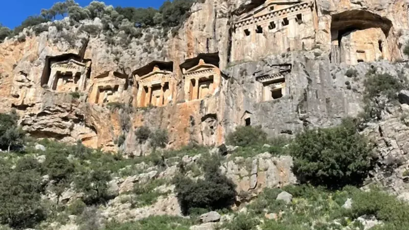
Kaunos and the Rock Tombs
Temple fronts cut into a cliff, and a harbour city the river silted up and stranded.
Read more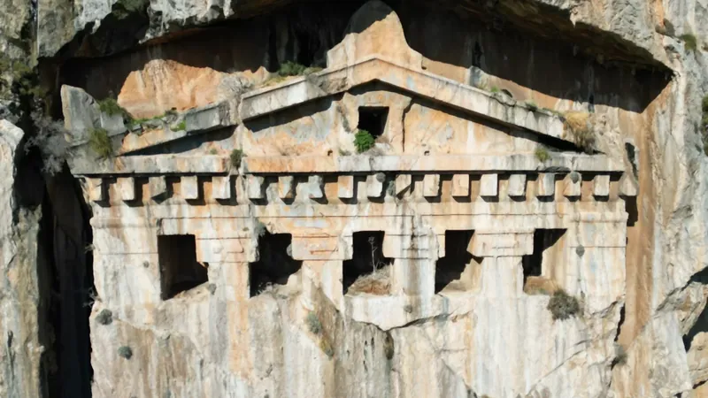
The Kaunos Rock Tombs Up Close: How They Were Cut and Who They Were For
From the river they are a skyline. From the path below they are a building site that stopped mid-job.
Read more